
Thailand prepares for more widespread monsoon rains, with the meteorological department warning of flash floods, rough seas, and heavy downpours across multiple regions this week.
The Thai Meteorological Department (TMD) reported that the monsoon trough is lying across the lower Central region, the East, and the lower Northeast, connecting to an active low-pressure cell over the South China Sea. Meanwhile, a strengthening southwest monsoon continues to prevail over the Andaman Sea, the South, and the Gulf of Thailand.
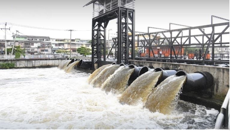
The weather system is expected to bring scattered thundershowers and heavy to very heavy rain in some areas. Residents near foothills, waterways, and low-lying land have been urged to prepare for possible flash flooding and runoff.

Winds and waves are also intensifying. The upper Andaman Sea could see waves reaching 2 metres, while the lower Andaman and upper Gulf will experience waves of 1 to 2 metres, rising higher during storms. Officials advised all boats to exercise caution and avoid sailing during thundershowers.
A tropical depression over Luzon in the Philippines is forecast to strengthen into a tropical storm before moving towards southern China between September 19 and 20. While it is not expected to make landfall in Thailand, forecasters caution it could enhance monsoon conditions over the region.
The weather forecast from 6pm yesterday, September 17 to 6pm today, September 18, is as follows:
In the North, scattered thundershowers are expected in Mae Hong Son, Chiang Mai, Lamphun, Lampang, Tak, Sukhothai, Phitsanulok, Kamphaeng Phet, Phichit, and Phetchabun, with temperatures ranging between 22°C and 24°C at the lower end to 30 to 34°C. Winds will blow at 5 to 15km/h.
The Northeast will see fairly widespread thundershowers and isolated heavy rain, particularly in Loei, Nong Khai, Bueng Kan, Yasothon, Amnat Charoen, Nakhon Ratchasima, Buriram, Surin, Sisaket, and Ubon Ratchathani, with temperatures of 23 to 25°C at the lowest and a maximum of 32 to 34°C. Wind speeds will reach 10 to 15 km/h.
Central provinces, including Uthai Thani, Ayutthaya, Saraburi, Kanchanaburi, Suphan Buri, Ratchaburi, Samut Songkhram, Samut Sakhon, and Nakhon Pathom, can expect heavy showers and minimum temperatures of 22 to 25°C and maximums of 31 to 34°C. Wind speeds will be 10 to 15 km/h.
The East, covering Nakhon Nayok, Prachin Buri, Sa Kaeo, Chachoengsao, Chon Buri, Rayong, Chanthaburi, and Trat, will likely experience the heaviest downpours, with waves up to 2 metres offshore. Temperatures will range from 23 to 26°C at the lowest to 30 to 34°C at the highest. Wind speeds will be 15 to 35 km/h. Waves will reach 2 metres during storms.
Along the South, both the east and west coasts will face scattered storms, with heavier rain in Phetchaburi, Prachuap Khiri Khan, Chumphon, Ranong, and Phang Nga. Temperatures will be between 23°C and 25°C at the lower end and 31°C and 34°C at the upper end. Wind speeds will reach 15 to 30 km/h on the east coast and up to 35 km/h on the west coast. Offshore winds may push waves beyond 2 metres in stormy conditions, according to the TMD.
Bangkok and surrounding areas will see fairly widespread showers with isolated heavy rain and highs between 31°C and 34°C. Minimum temperatures will be 24 to 25°C. Wind speeds will be 10 to 15 km/h.
The story Thailand on alert as fierce monsoon rains threaten floods as seen on Thaiger News.
